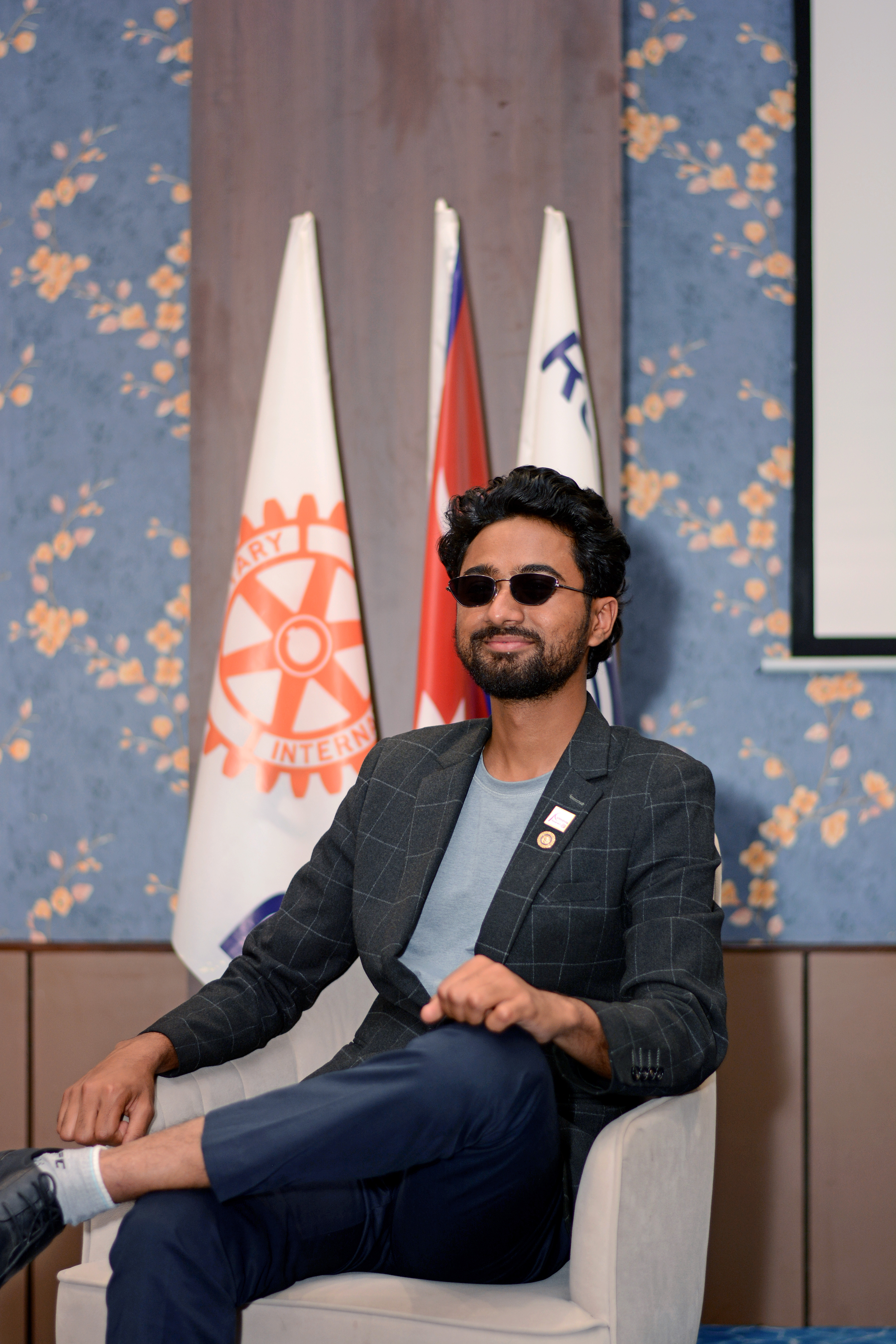
Geology student, field researcher, and lifelong student of the Himalayan landscape.
Rabindra Karki · Field Work, Nepal
I am a geology student at Tribhuvan University driven by a deep curiosity about the forces that have shaped — and continue to shape — the Himalayan landscape.
Growing up in Sindhupalchok, Nepal means living alongside geology in its most dramatic form: landslides that sever communities, earthquakes that reshape valleys, glaciers that feed rivers. For me, studying geology is not merely an academic pursuit — it is a responsibility to the land and people I come from.
I am currently pursuing a Bachelor's in Science (Geology) at Tri-Chandra Multiple Campus, Tribhuvan University, alongside a completed Bachelor's in Arts (Sociology & Economics) from Koteshwor Multiple Campus. My field experience includes a 15-day geological study in Malekhu and a 28-day study along the Siddhartha Highway covering Butwal, Palpa, and Syangja.
Beyond academics, I serve as Vice-President of the TU SEG Student Chapter and Vice-President (President-Elect) of Rotaract Club of Kathmandu — roles that have shaped my leadership, communication, and community-service skills as much as my fieldwork has.
Pursuing a geology degree with focus on structural geology, geophysics, and natural hazard assessment. Completed a 15-day field study in Malekhu and a 28-day field study along the Siddhartha Highway (Butwal–Palpa–Syangja), covering rock identification, geological mapping, and field data collection.
Graduated with First Division. Majored in Sociology and Economics, strengthening analytical thinking and understanding of social structures and economic systems.
Completed intermediate education with a science focus, building a strong foundation in analytical reasoning, scientific principles, and problem-solving.
Completed Secondary Education Examination with GPA 3.15.
A major platform for personal and professional growth. Gained experience in leadership, social service, event coordination, and global networking. Awarded Outstanding Club Secretary by Rotaract District 3292 (June 2025).
Actively promoting leadership and collaboration within the geoscience community. Organising academic and field-based activities, workshops, and collaborative projects. Gained hands-on experience in exploration geophysics and scientific leadership.
Learning office management, documentation, event planning, and coordination. Developing proficiency in Microsoft Office and professional communication.
Worked closely with the District Governor, coordinating district-level operations and communications. Expanded professional network and deepened understanding of Rotary's leadership and service structure.
Contributing to humanitarian initiatives and enhancing teamwork and leadership skills through volunteer activities.
Uplifted professional development, management, and leadership skills through youth organisation activities.
In-depth training in ERT, Seismic Refraction Tomography (SRT), Multichannel Analysis of Surface Waves (MASW), and GPS applications.
12-day tour focused on Himalayan tectonics, stratigraphy, and rock formations. Strengthened practical field skills and cross-cultural geological learning. Published report, pg. 61–67 →
Built competency in field safety protocols, leadership in remote environments, and risk management for geoscience fieldwork.
Explored youth engagement in sustainable development and contributions to Nepal's development landscape.
Enhanced creative and professional writing skills through structured exercises and feedback.
Recognised for outstanding service as Secretary of Rotaract Club of Kathmandu during Rotary Year 2024–25.
Recognition for photography work capturing environmental conservation efforts — highlighting the importance of protecting natural landscapes.
Contributed to the published report Traversing the Himalayan Orogen 2025, pages 61–67. Read publication →
Every geological interpretation begins in the field. Primary data collected through careful observation and measurement is the most reliable foundation for any research conclusion.
Combining classical geological mapping with modern geophysical tools — ERT, seismic refraction, MASW, remote sensing — produces a more complete picture of subsurface geology than any single method alone.
Research that cannot be translated into practical hazard mitigation or community resilience is incomplete. My findings must have real-world application for communities most affected by Nepal's geological hazards.